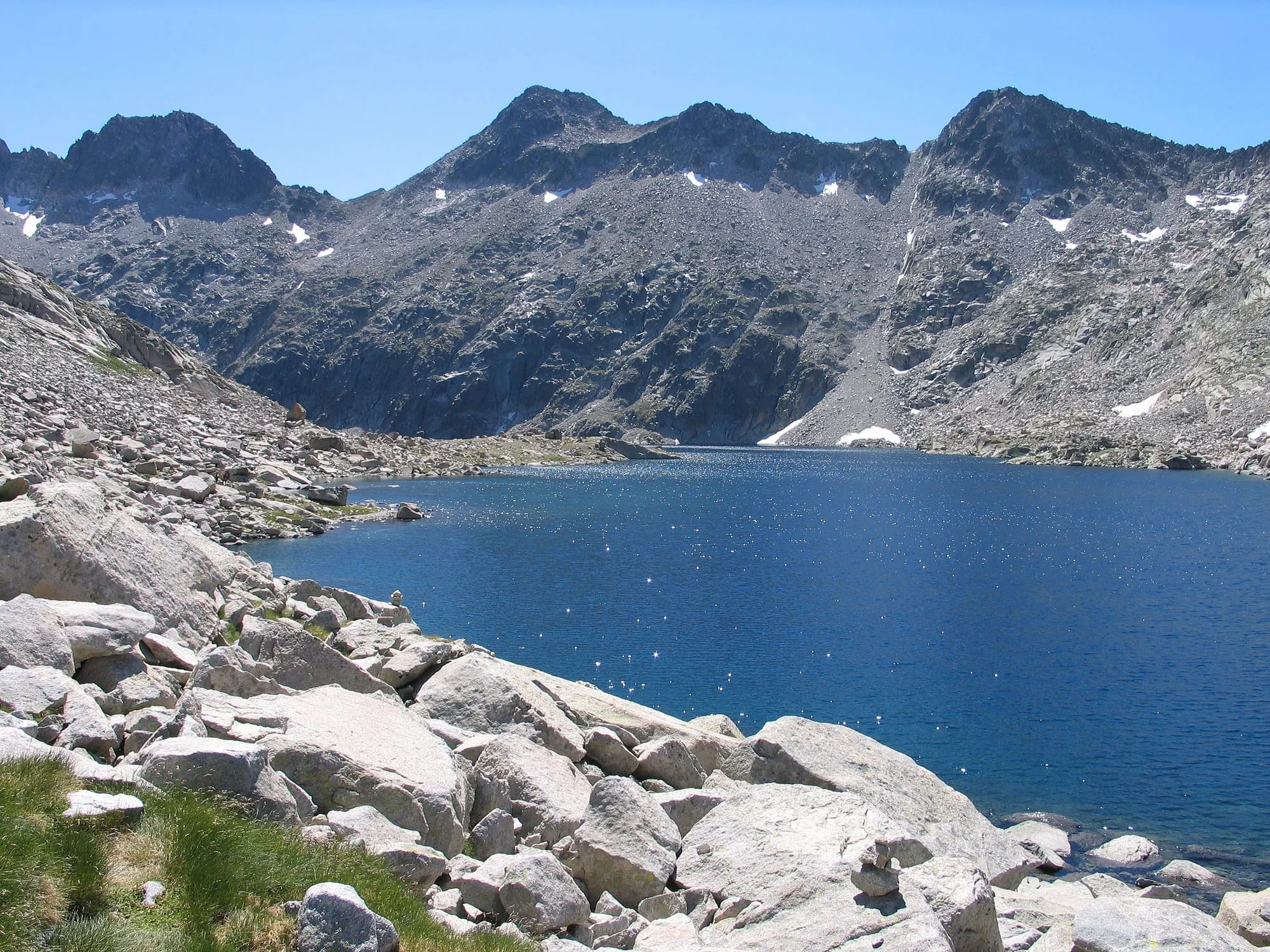
Ibón de Cregüeña is, without question, the largest natural lake in the Benasque Valley — and one of the toughest climbs among the area’s “mid to high mountain” routes. That’s more than twelve hundred metres of ascent, plus a final stretch with no marked path, where the only guide is a line of stone cairns picking a way through a chaos of boulders. The reward is a turquoise lake set in a rocky cirque at 2,632 metres, and one of the most photographed sights among people who know this valley well.
Starting point
The route begins at the Puente de Cregüeña, reached by taking the track that runs up the Benasque Valley towards Plan de Senarta or Plan de Baños. The bridge crosses the stream that comes down from the lake itself.
Highlights
- Ibonet de Cregüeña, a small lake at 2,460 metres that you pass on the way up and that already hints at the landscape of the cirque above
- The final stretch with no marked path, waymarked only by stone cairns — the hardest and most memorable part of the route
- Ibón de Cregüeña itself, at 2,632 metres: the valley’s biggest natural lake, seen at its best if you follow its right-hand shore
When to go
The safe season runs from late June to October, once the snow has cleared from the upper section. Outside those months, the lack of a marked path on the final stretch makes route-finding considerably harder.
What to bring
Water and food for more than six hours, mountain boots with good grip (the last section is all loose rock) and warm layers — at this altitude you feel the wind even in summer. For the pathless final stretch, load the route onto a GPS or an app such as Wikiloc before you go.
Route data: Benasque town council / Posets-Maladeta Natural Park (turismobenasque.com)
More information at turismobenasque.com. You can also find the route track on Wikiloc.
Updated: June 21, 2026