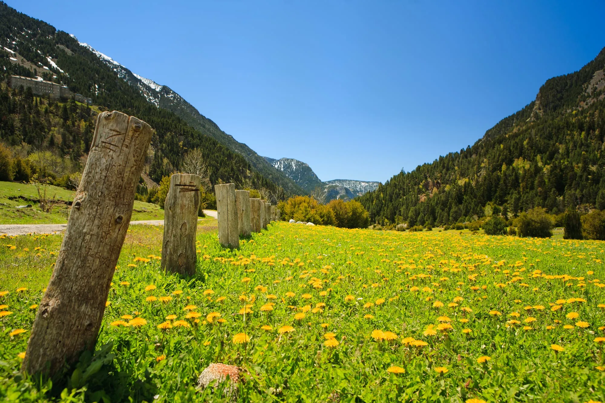
The Benasque Valley lies at the northern tip of the province of Huesca, in the Aragonese Pyrenees, very close to the border with France. It’s one of the highest corners of the Pyrenees: this is where Aneto rises, the roof of the range at 3,404 m.
Location
By car
This is the most common way to reach this part of the Pyrenees. The main access is via the N-260 and the A-139 from Huesca or Barbastro. Improvement works have recently been carried out on the N-260, cutting the time to reach Benasque and improving safety.
Distances and times from the main cities
| From | Distance | Approx. time |
|---|---|---|
| Zaragoza | ~202 km | 2 h 30 |
| Toulouse (France) | ~244 km | 3 h |
| Barcelona | ~285 km | 3 h 45 |
| Madrid | ~512 km | 5 h 30 |
By plane
The Benasque Valley has no airport of its own, so from any of them you’ll need to finish the trip by car (rental or your own), bus or taxi. The closest airports to this part of the Pyrenees are:
- Lleida-Alguaire — ~116 km, the nearest.
- Zaragoza — ~210 km.
- Toulouse-Blagnac (France) — ~244 km.
- Barcelona-El Prat — ~281 km, with the widest choice of international flights.
By bus
Monbus runs regular services to the main cities, and also operates the local bus within the valley itself. It’s worth checking timetables in advance, especially outside the high season.
Other transport
Bus to Besurta in summer: from mid-June to mid-September, a bus leaves every 35 minutes from the Llanos del Hospital ford up to Besurta (the starting point for Aneto), as access by private vehicle is closed. Always confirm the current conditions before heading up.
Benasque-Cerler cable car: the new cable car that will connect the town of Benasque with the Cerler resort in about 6 minutes is finished and about to enter service.
Updated: June 20, 2026